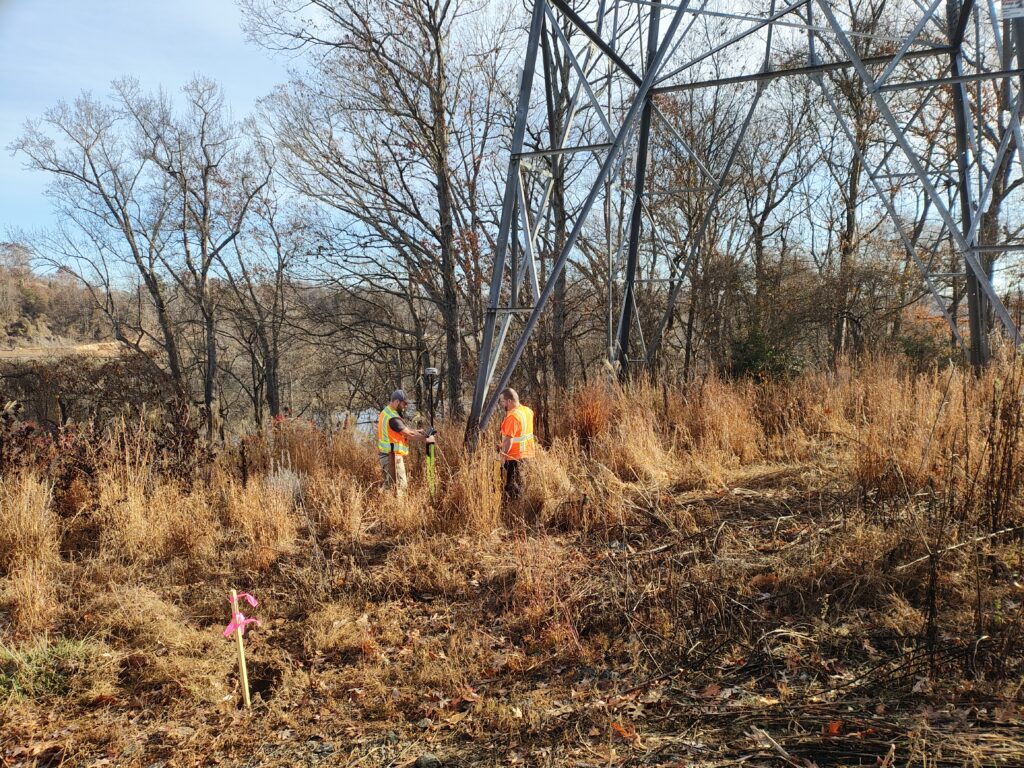
Did you know that surveyors play a critical role in getting trails off the ground—long before a single tree is trimmed or a shovel hits the dirt?
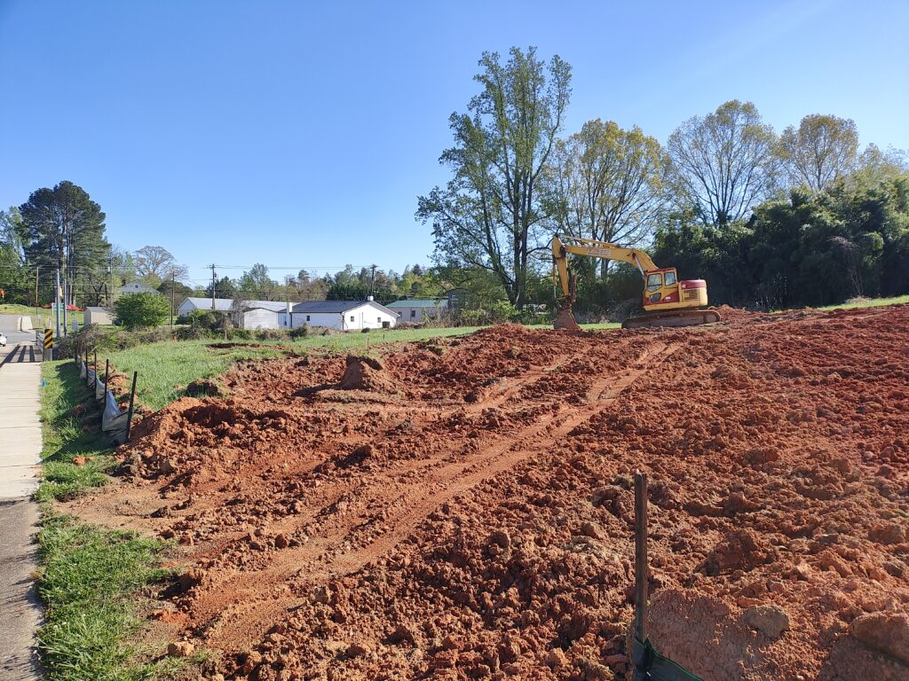
When most people picture trail building, they think of shovels, gravel, bridges, and boardwalks. But one of the most important steps happens long before any of that begins: surveying. Before a single foot of trail is laid, surveyors help us understand the land—its boundaries, its contours, and its possibilities. Their work guides everything from where a trail can safely run to how a future parking area should be graded or where an overlook might best fit.
Surveying for the Burke River Trail isn’t always glamorous. Our survey partners bushwhack through briars, climb steep slopes, and navigate creek crossings to collect the data that allows our projects to move forward. For Burke River Trail, surveys have helped finalize exact trail alignments for public easements on private land, confirm property boundaries for trailheads and amenities, map out topography for grading plans, and determine whether a trail can fit on tight or unusual parcels. Every one of these steps prevents costly surprises later and ensures the trail is built responsibly and sustainably.
This behind-the-scenes work doesn’t always show up in photos, but it is foundational to building a safe, connected trail system across Burke County. Surveyors give us the confidence to make design decisions, negotiate easements, and protect landowners’ interests while moving the Burke River Trail closer to reality—one carefully measured step at a time.